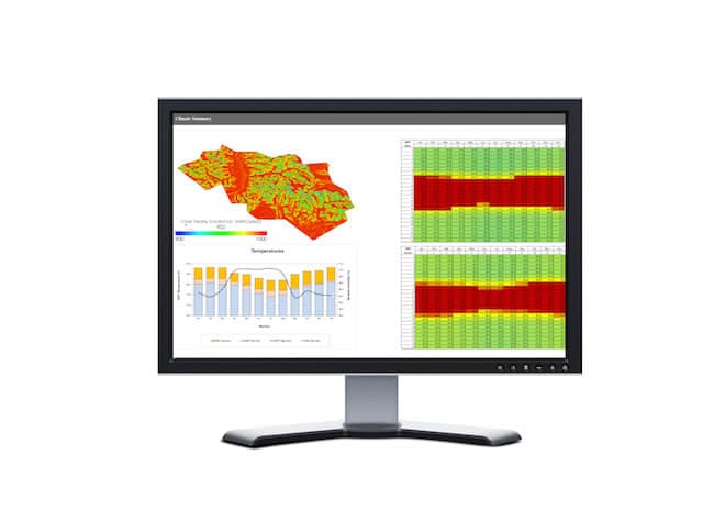
As our CO2 output increases and our planet’s weather habits continue to swing to new extremes, new variables have emerged that building and design professionals must consider in order to do their jobs. To fill the void, Argos Analytics and multi-dimensional firm Arup have teamed up to develop a nifty new tool. The new collaborative WeatherShift software application projects future climate weather data with the aim of influencing smart infrastructure design. We caught up with Argos president and founder Robert Dickinson and Arup energy and resource sustainability business leader Cole Roberts to talk software specifics.
gb&d: What can we ultimately expect from WeatherShift? What are the general goals of the software?
Roberts: In general, we expect better buildings and city infrastructure. Specifically, by using better data to inform our design, buildings will be better able to manage higher temperatures, cities will be better able to manage changed rainfall. The outcome will be improved public health, more resilient city services, and lower cost of responding to future climate hazards.
gb&d: How far into the future can WeatherShift collate and quantify climate data?
Dickinson: The WeatherShift weather file tool is designed to adjust the weather files that are used to model energy needs for buildings for the effects of climate change. The adjustments are based on projections from the Intergovernmental Panel on Climate Change (IPCC) Fifth Assessment (AR5) that was completed in 2014. These projections run through the end of the 21st century and the current implementation of the tool provides projected weather data for mid-century and the end of the century.
gb&d: In technical terms, how does the software work? How are emissions levels estimated?
Dickinson: There are two major components: the computation of offsets between current and future climatic conditions and the use of those offsets to adjust or “morph” the weather files. Since future conditions cannot be accurately predicted, a group, technically referred to as an ensemble, of projections is analyzed to provide information on the range of possible conditions. The results of this analysis are presented in the form of a cumulative frequency distribution for the offsets.
gb&d: What are some examples of how you suppose WeatherShift might influence urban planning/how future developments in architecture might be approached?
Roberts: Most urban planning today is done with little attention to climate or undertaken assuming the climate won’t change. We have seen that when WeatherShift data is applied to urban planning in select cities, the conclusions point to a need to proactively consider climate in the future. Examples can be a more open relationship to cooling breezes, open and shaded spaces to reduce heat islands and encourage areas of sanctuary, removal of heat rejection equipment from dense urban areas, changes to traditional patterns of building, etc.

