Story at a glance:
- The US Climate Resilience Toolkit and EcoAdapt’s Climate Adaptation Knowledge Exchange are all-in-one resource hubs for designing climate resilient buildings.
- Digital programs and software like those offered by cove.tools can help architects design and model energy-efficient buildings with low carbon footprints.
- The AIA’s Resilience and Adaptation Online Series provides a comprehensive breakdown of the skills, principles, tools, and knowledge necessary to design climate-adaptable buildings.
Over the last 40 years Earth’s temperature has risen by a rate of 0.32°F per decade—or more than double that of the average rate (0.14℉ per decade) measured between 1880 and 1980. These rising temperatures have led to rising sea levels via glacier and ice-sheet melt, increased flooding, worsening storms, and widespread droughts, all of which pose a serious threat to human and non-human life on a global scale.
Two of the primary factors contributing to advanced anthropogenic climate change are deforestation and the increased consumption of fossil fuels—and the built environment has a hand in both. On average building operations account for approximately 40% of the world’s annual carbon emissions, while the construction and demolition sector as a whole is responsible for the extraction of more than 30% of the world’s resources and produces 25% of the world’s solid waste.
It’s plain to see that architects, designers, and engineers have a large role to play in mitigating the worst effects of climate change, but the realization of that role can be difficult to achieve when we lack the knowledge and tools necessary to design sustainable buildings capable of withstanding and adapting to changing climatic conditions.
10 Resources to Design For Climate Change
Fortunately there are some incredible resources available out there. These resources aim to provide architects with the data, tools, and skills required to design environmentally conscious structures that have the capacity to weather future climate disasters. Let’s explore 10 ten of these now.
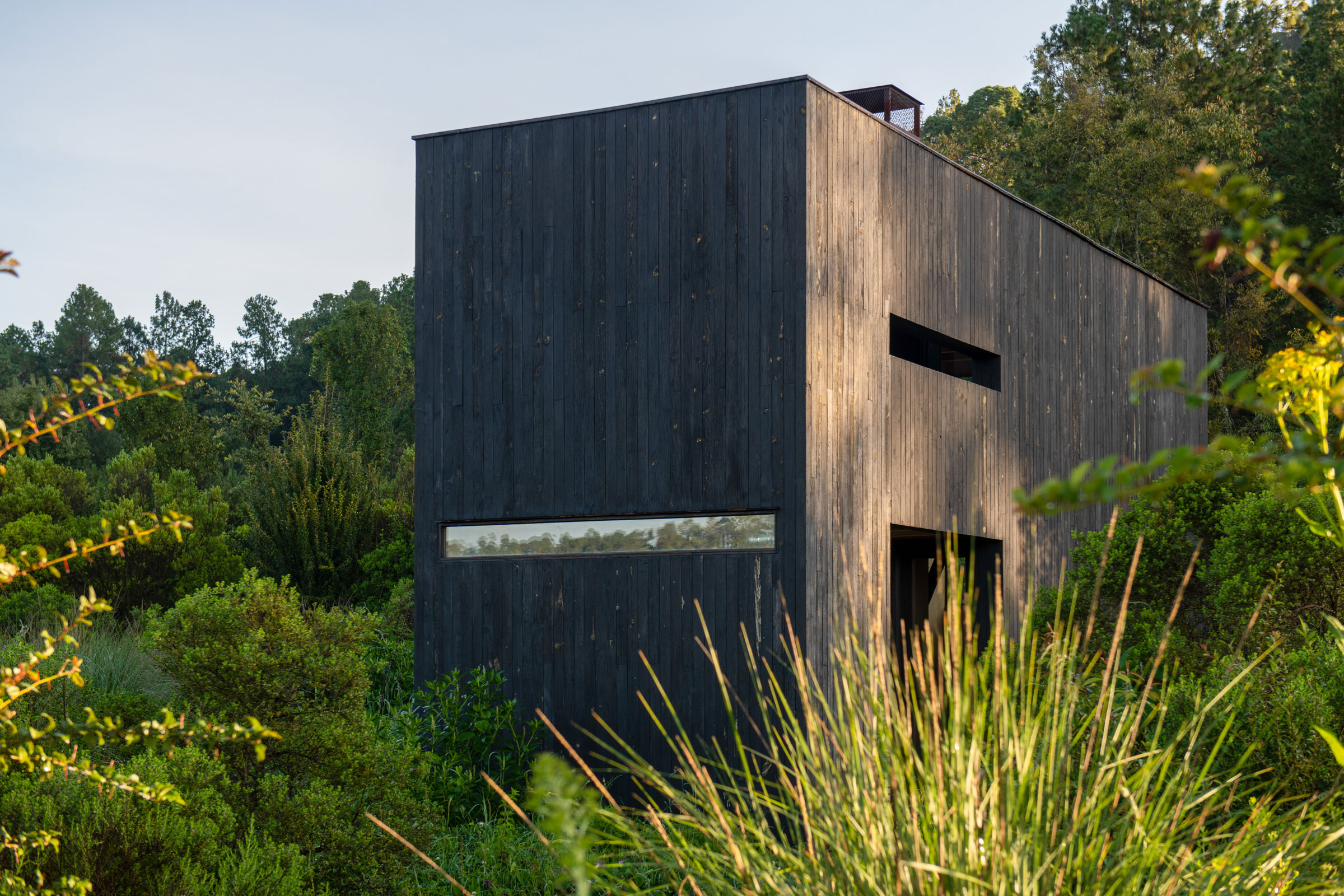
1. Climate Adaptation Knowledge Exchange
Consider climate change from the beginning of your design. Photo courtesy of EHDD
Launched in July 2010 and managed by the nonprofit EcoAdapt, the Climate Adaptation Knowledge Exchange (CAKE) functions as an online knowledge sharing platform with regard to the realm of climate adaptive design.
Architects, engineers, urban planners, and designers can use CAKE to browse hundreds of climate change adaptation case studies as well as access tools and resources that cover all five phases of the adaptation process: assessment, planning, implementation, evaluation, and monitoring.
Building operations account for approximately 40% of the world’s annual carbon emissions.
Interactive guides and toolkits on various aspects of climate adaptation or region-specific adaptation (e.g. climate adaptation in the Great Lakes Region) help provide greater insight into how strategies can be implemented within certain parameters. A tool library provides access to software, programs, maps, databases, and more to help users gather relevant data, projections, estimates, and other useful resources.
CAKE also allows users to upload their own documents and case studies, making it that much easier to share knowledge and methodologies, facilitating collaboration and innovation on a larger, more widespread scale.
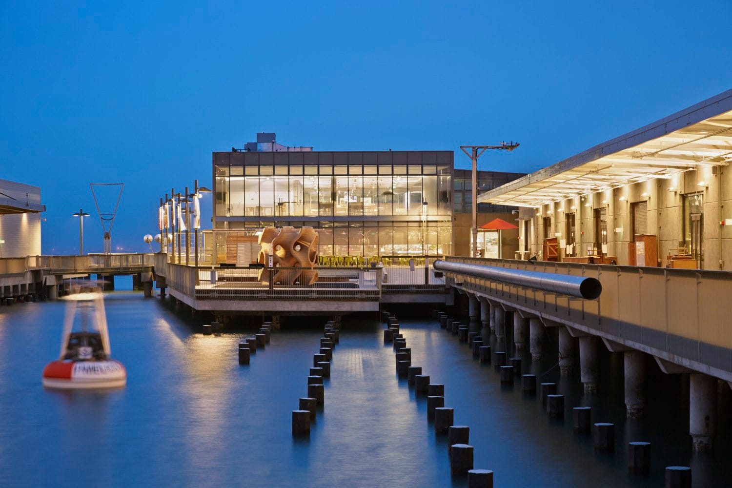
2. Climate Central Coastal Risk Screening Tool
Coastal environments and communities are most at risk when it comes to climate-related disasters like flooding, tropical storms, and sea level rise. Photo by Marion Brenner
Climate Central—an independent nonprofit made up of communicators and scientists—has put together the Coastal Risk Screening Tool to help provide insight into coastal flooding predictions. Using the latest projections of future flood levels and advanced global models of coastal elevation, the Coastal Risk Screening Tool gives planners and developers access to an interactive map showing those areas most threatened by coastal floodwaters and sea level rise.
Climate Central developed CoastalDEM, a high-accuracy digital elevation model, to generate the elevation data necessary for their flood maps, allowing for much more accurate flood risk assessments for those areas outside the US, particularly those without existing or reliable elevation data. All of the mapping done within the US was made possible by data collected by NOAA.
Currently Climate Central’s Coastal Risk Screening Tool has eight interactive maps relating to climate change–induced sea level rise and flooding:
- Coastal Wetlands. Gives users the ability to see how the combination of coastal development/conservation and sea level rise will impact the resiliency of coastal wetlands.
- Temperature. Lets users explore how global temperature increase by a certain year will affect sea level rise (includes a “luck” slider. “Good luck” means climate change has less of an impact on sea level rise than previously thought, while “bad luck” indicates the opposite).
- Water Level. This map lets users see which coastal areas may be impacted by various water levels as measured above the high tide line (based on possible storm surge, tides, and sea level rise).
- Time Horizon. Allows users to explore projected sea level rise and subsequent coastal flood risks by decade.
- Warming Choices. Using adjustable sliders, users can compare how possible pollution pathways (and their subsequent impact on global temperatures) will affect long-term sea level rise.
- Affordable Housing. Map featuring several adjustable sliders that allows the user to see how coastal flooding, socioeconomic vulnerability, and physical vulnerability put America’s affordable housing at risk.
- Ice Sheets. Shows how melting ice sheets in Greenland and Antarctica could affect coastal communities around the world.
- Elevation Data. Shows how improved elevation data acquisition indicates greater risk from coastal flooding and rising sea levels.
3. cove.tools
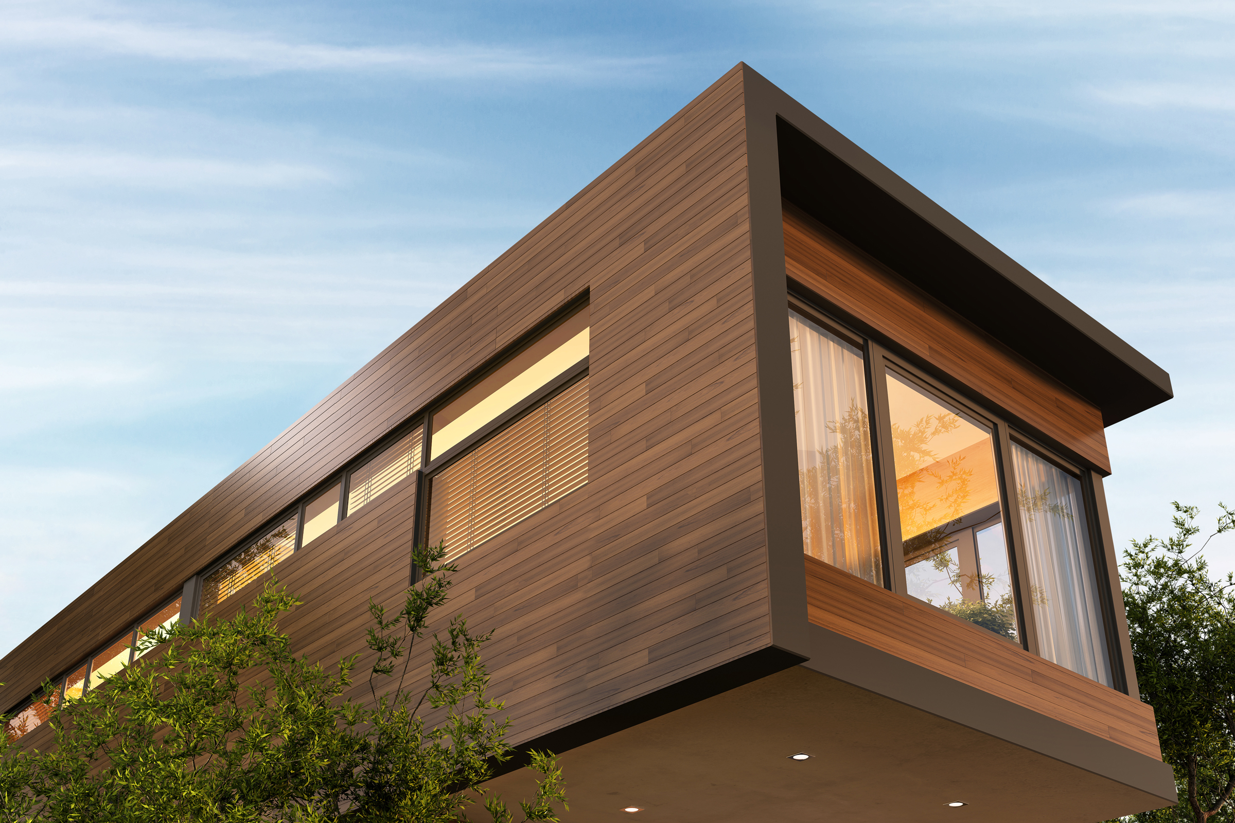
Energy-efficient homes have lower operating costs, produce fewer carbon emissions, and provide increased comfort compared to traditional homes. Photo courtesy of Getty Images
Founded by Sandeep Ahuja, Patrick Chopson, and Daniel Chopson, cove.tools is a cloud-based building design software network that offers a variety of program tools intended for use in fighting climate change by making it easier for architects to design sustainable, low-carbon buildings.
Of the resources they offer, two are particularly relevant to architects and engineers: the analysis.tool and loadmodeling.tool.
Cove’s analysis.tool is a state-of-the-art 3D building performance analysis and energy modeling program that helps industry professionals optimize their projects for carbon, energy, and cost. Features include automated energy modeling based on project location, accurate daylight simulations informed by the sDA metric, automated embodied carbon metric calculations and estimates, sun-hour analysis and radiation studies for passive solar design, and more.
The loadmodeling.tool, on the other hand, is a whole building energy modeling program that allows engineers to precisely size, coordinate, and optimize HVAC system design for peak energy efficiency and reduced carbon emissions. Using this tool engineers can accurately estimate a building’s monthly, daily, and hourly energy consumption as well as perform sizing calculations and run energy load simulations.
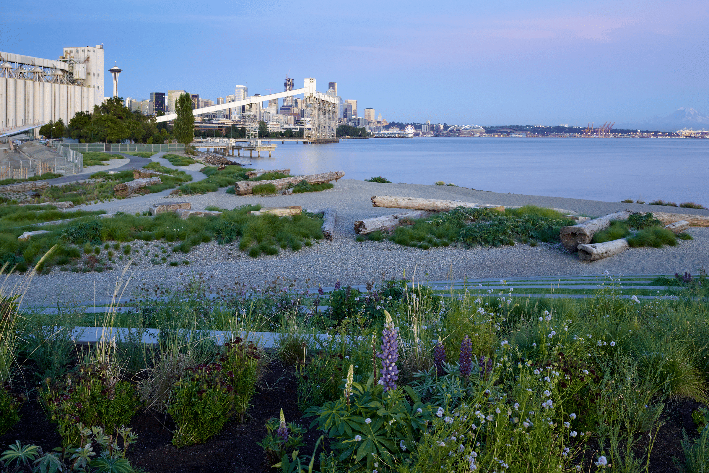
4. 2030 Palette
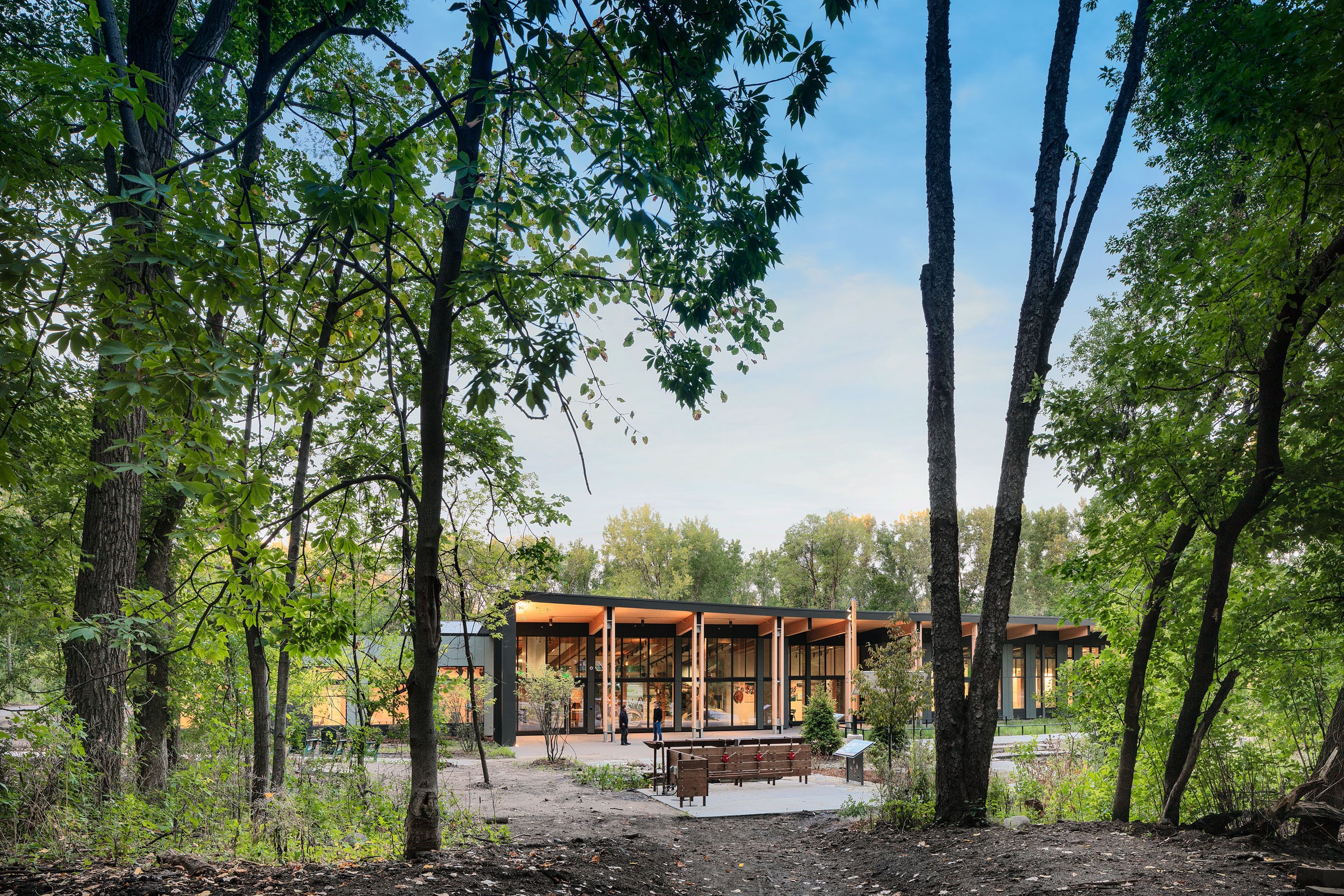
HGA designed the Westwood Hills Nature Center in St. Louis Park, Minnesota to be zero energy. Photo by Pete Sieger
Similar to CAKE, 2030 Palette is an all-in-one, easily browsed database full of relevant sustainable design strategies, principles, tools, and resources that aids architects and engineers in designing resilient, zero-carbon buildings capable of adapting to changing climatic conditions.
Created and curated by Architecture 2030—a nonprofit centered around sustainable building in response to the ongoing climate crisis—2030 Palette provides insight into how climate-responsive design principles can be implemented at the regional, city/town, district, site, and building level. All five headings are subdivided into categories of a narrower, more detailed focus; the regional heading, for example, allows users to choose between coastal adaptation, coastal settlements, habitat corridors, settlement areas, and so on.
Once selected these subcategories direct the user to relevant tools, resources, and websites that can provide more information as to how sustainable, climate-ready development can be achieved in the chosen area.
2030 Palette also highlights several climate and energy analysis tools that can be used in conjunction with their principles to aid in the design process, including: EDGE, Pathfinder, Sefaira, Autodesk Insight, cove.tools, Climate Consultant, SUNREL, and FenestraPro.
5. Climate Change World Weather File Generator
Outside the Rain Harvest Home. Photo by Jaime Navarro
Developed by the University of South Hampton’s Energy and Climate Change Group, the Climate Change World Weather File Generator—or CCWorldWeatherGen—is a tool that allows architects and engineers to generate climate change weather files for virtually any location on earth, of which can then be uploaded for use in building performance simulation programs.
A Microsoft Excel based tool, CCWorldWeatherGen uses model summary data from the IPCC’s Third Assessment Report’s HadCM3 A2 experiment ensemble to transform contemporary or ‘present day’ EnergyPlus Weather (EPW) files into climate change TMY2 or EPW files.
These converted files are compatible with most building performance simulation programs and allow architects to better understand how local climatic conditions will impact and influence the overall efficiency and operation of the buildings they design.
6. Centering Racial Justice in Urban Flood Adaptation Report
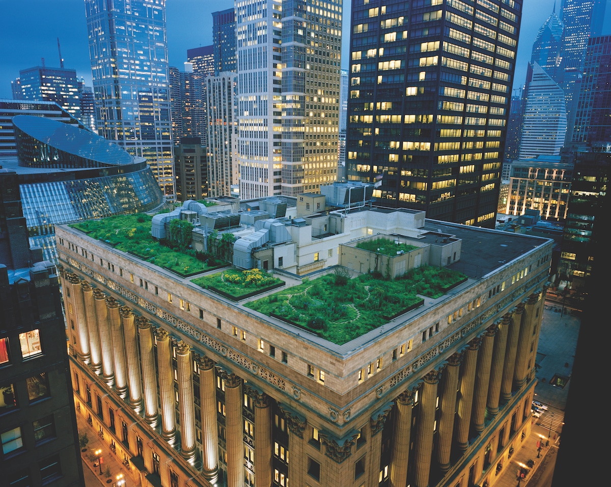
Green roofs and other green spaces are key to mitigating stormwater runoff and urban flooding. Photo courtesy of Sika Sarnafil
Historically the communities hit hardest by—and receiving the least amount of aid and resources in relation to—urban flooding are those communities populated wholly or primarily by racial and/or ethnic minorities. This is largely the product of hundreds of years of systemic racial injustice, upheld and propagated by discriminatory real estate practices, segregation, gentrification, and unequal opportunities for social and economic advancement.
In an effort to curtail future racial inequality in the realm of urban climate change planning and flood adaptation, the Graham Sustainability Institute (GSI) at the University of Michigan put together the three-part Centering Racial Justice in Urban Flood Adaptation report, intended primarily for city planners and project stakeholders.
The first part focuses largely on laying out the motivations behind the report as well as providing relevant background information on the Great Lakes region in general (keep in mind, though, that many of the core strategies explored in the report are applicable regardless of geographic location).
In part two of the report GSI identifies and explores five key principles for centering racial justice as it relates to urban flood adaptation:
- Focus on the root causes.
- Institutionalize representation.
- Co-own planning efforts with communities.
- Center equity in relation to data collection and analysis.
- Facilitate cross-sector collaboration.
Lastly, the report identifies strategies for evaluating progress made toward racial justice in the larger sphere of urban flood adaptation. This section emphasizes tracking equitable distribution of funding, ethical collection and dissemination of data (e.g. green infrastructure project maps, community evaluations and vulnerability assessments, etc.), and long-term community-led monitoring.
7. CLIMATESCOUT
Designing for climate change means knowing which building design elements are best suited to your project’s location. Photo courtesy of Gensler
Developed by Arcadis—a leading global design and consultancy organization for natural and built assets—CLIMATESCOUT allows architects and engineers to easily figure out which sustainable design principles are most suited to the particular climate zone their project resides in. CLIMATESCOUT uses the Köppen-Geiger climate classification system, which recognizes a total of 31 unique climate zones around the world based on differences in seasonal temperatures, precipitation levels, and vegetation types.
Users can use this climate map to choose the location of their project, and CLIMATESCOUT will identify the most applicable building scale design strategies from Architecture 2030’s Palette, as well as a visual, multi-layered diagrammatic representation of those strategies in action.
CLIMATESCOUT is especially useful in the early stages of planning and development, as it provides architects with a baseline for what climate resilient design strategies are most feasible, allowing them to make more informed design decisions. And while CLIMATESCOUT is not intended to completely negate the need for a thorough site analysis, it does provide an overview as to current and future climatic factors that a project must be made to withstand and adapt to.
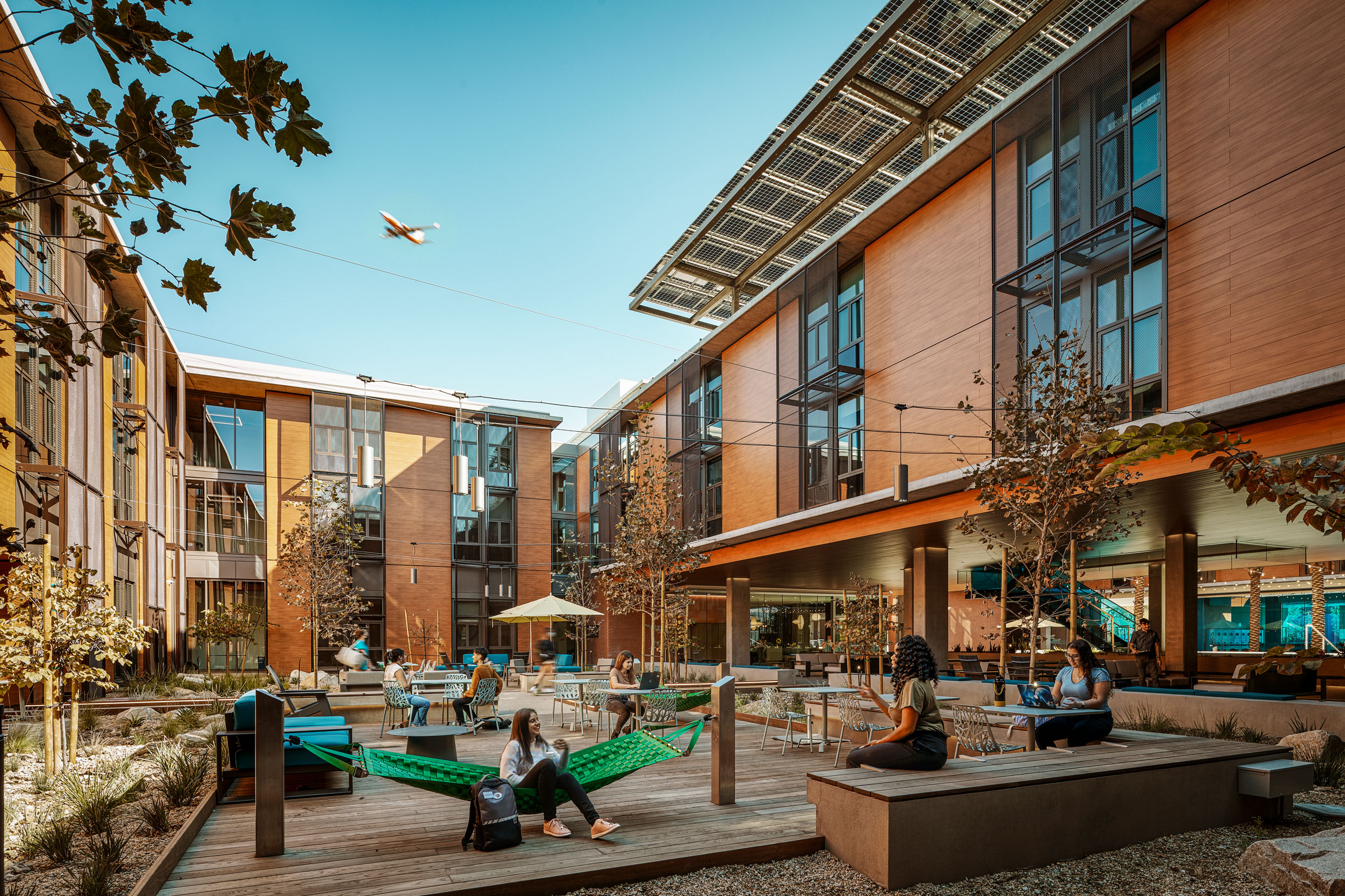
8. US Climate Resilience Toolkit
The new headquarters for The David and Lucile Packard Foundation was designed to serve as a catalyst for broader organizational sustainability initiatives by achieving net zero energy use and LEED Platinum certification. Photo by Jeremy Bitterman
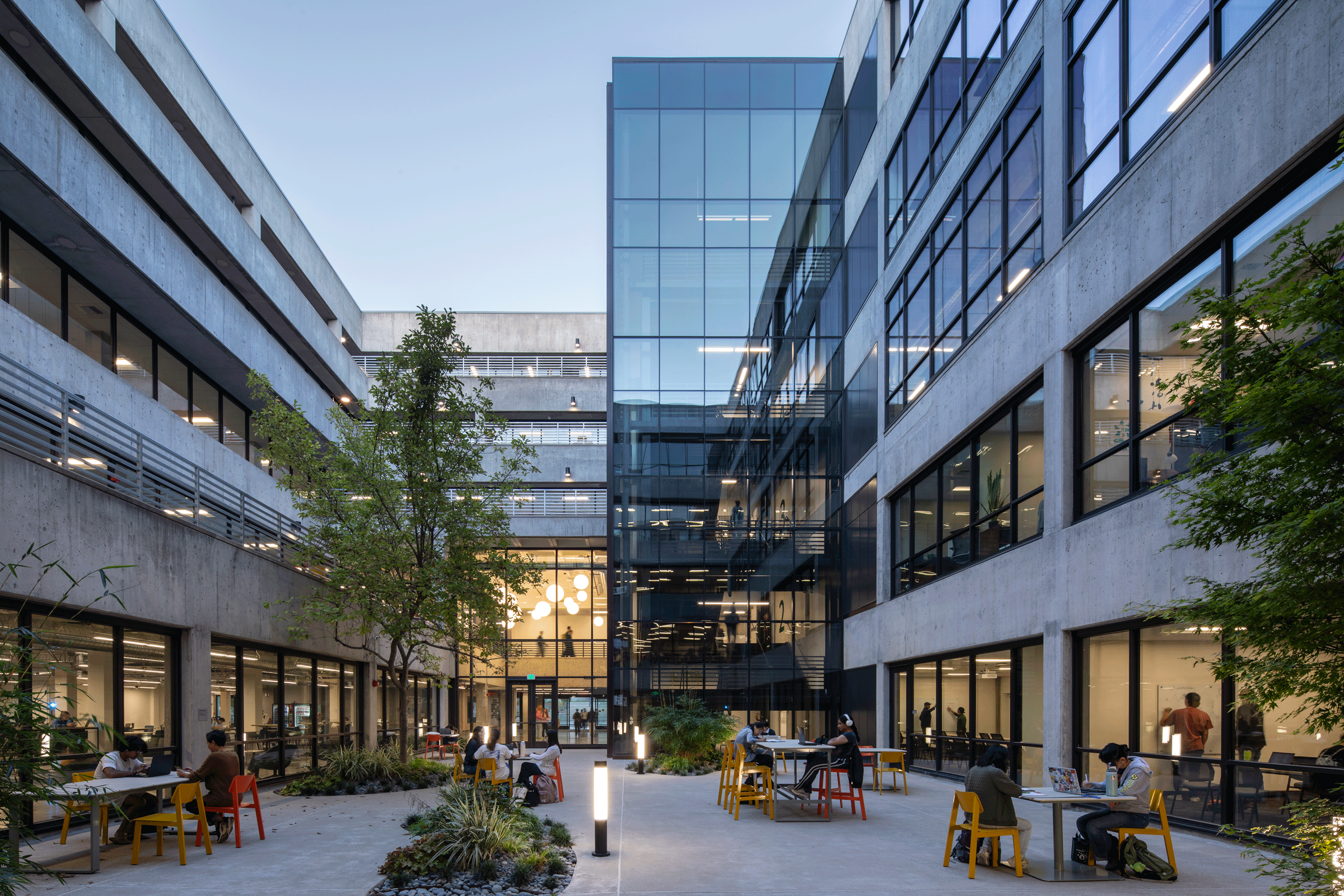
As perhaps the most comprehensive and user-friendly all-in-one resource for climate change informed design, the US Climate Resilience Toolkit functions as both a knowledge-sharing platform and an educational hub for architects, engineers, urban planners, and the general public alike.
Developed largely by NOAA in collaboration with other departments in the United States Global Change Research Program, the US Climate Resilience Toolkit allows users to access a wide array of case studies as well as region-specific data on climate hazards, cultural responses, and “best practices” for facilitating climate resilience.
As the name suggests, the US Climate Resilience Toolkit also provides users with the tools, programs, portals, and software—more than 500, to be exact—to aid in managing climate-related risks and designing resilient, adaptable development projects. This tool library is easy-to-use and may be filtered by topic, tool functionality, and region.
The US Climate Resilience Toolkit also hosts the National Environmental Modeling and Analysis Center’s Climate Explorer, a program that offers maps, graphs, and data downloads of both projected and observed climate variables for every US county.
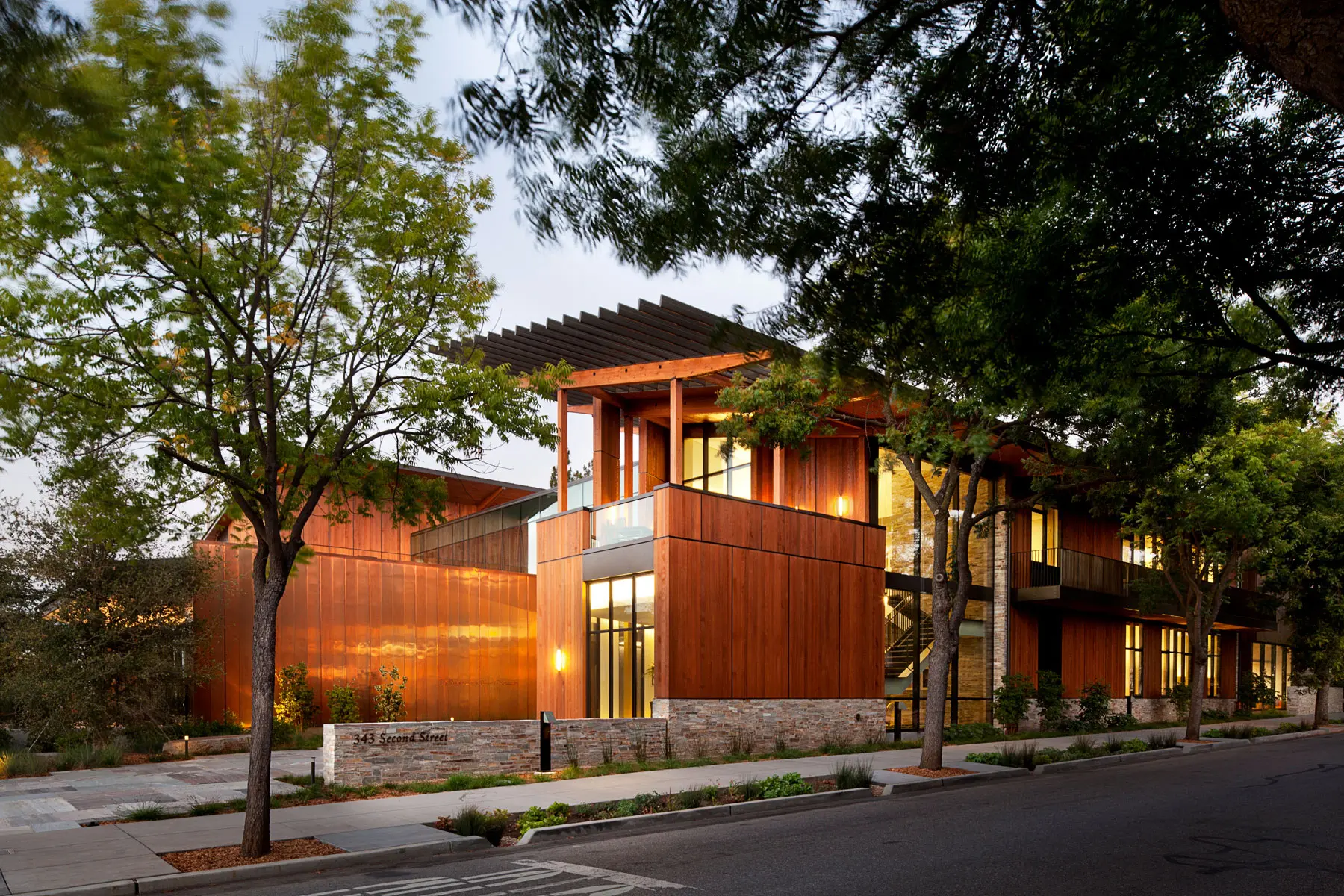
9. AIA Resilience and Adaptation Online Series
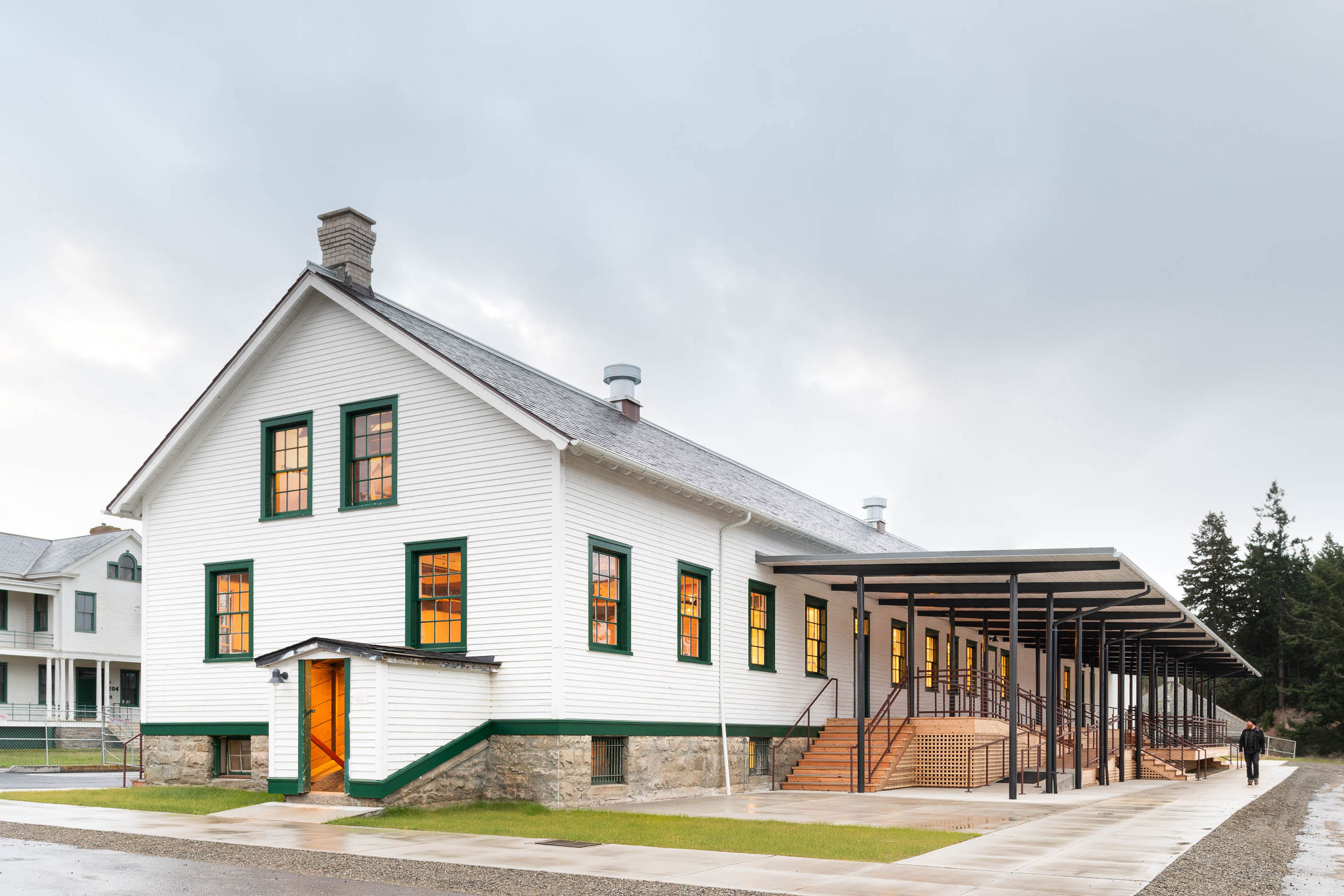
As an adaptive reuse project Fort Worden generates less carbon through its new use since it utilizes existing foundations and most of the walls, roofs, windows, and systems that enclose the building. The project on Washington’s Olympic Peninsula was designed by Signal Architecture with substantial input from local communities. Photo by Arthur Ross
Created by the AIA, the Resilience and Adaptation Online Series is a nine-course series that provides architects and engineers with the necessary knowledge and tools to design climate resilient buildings.
A brief overview of the courses and their learning objectives is as follows, and the latest pricing for each can be found by contacting the AIA.
- Resilience + Adaptation—An Introduction. Introduces the foundational aspects of resilience and adaptation in design as well as the historical background and core data points needed throughout the series.
- Hazards, Vulnerability, and Risk in the Built Environment. Explores the relationships between climate hazards, vulnerabilities, and risks associated with the built environment in order to teach attendees how to recognize and plan for their impact on buildings and communities at large; prioritizes adhering to a holistic approach and emphasizes public safety.
- Responding to Climate Change. Focuses primarily on the fundamental barriers and opportunities climate change imposes on architects and how certain building design practices can effectively mitigate, adapt to, and potentially even slow, anthropogenic climate change.
- Codes and Rating Systems for Resilience. Provides insight into identifying the level of protection offered by building codes so that their strengths and limitations might be better understood; introduction to how rating systems can work in conjunction with local codes.
- Conducting Vulnerability Assessments. Step-by-step walkthrough on how to conduct vulnerability assessments so that architects and engineers can make more informed decisions regarding renovations, repairs, and retrofits to mitigate damage from potential climate hazards.
- New Construction: Hazard Mitigation Strategies. Covers the best practices and design principles for hazard mitigation strategies as they relate to new construction projects.
- Existing Buildings: Hazard Mitigation Retrofits. Provides insight into the strategies and practices used to upgrade the preparedness of existing buildings—including those of historic significance—to improve resilience against climate disasters.
- Professional Risk and the Business Case for Resilience. Teaches how to present a compelling business case for resilient design so that clients and developers understand the benefits and strategies associated with climate-informed adaptation.
- Community Design & Engagement for Resilience. Discusses how climate resilient design can affect and involve the community at large to ensure that development projects are socially and economically equitable.
10. Building America’s Disaster Resistance Guides
As climate disasters become more frequent, our built environment must adapt to improve long-term resiliency. Photo courtesy of ROCKWOOL North America
Building America—a program developed under the DOE—has long been a source of innovation as it relates to high-performance and energy-efficient buildings, especially in the residential sector. But with climate disasters becoming more and more frequent, Building America has put together a comprehensive guide on designing for disaster resistance.
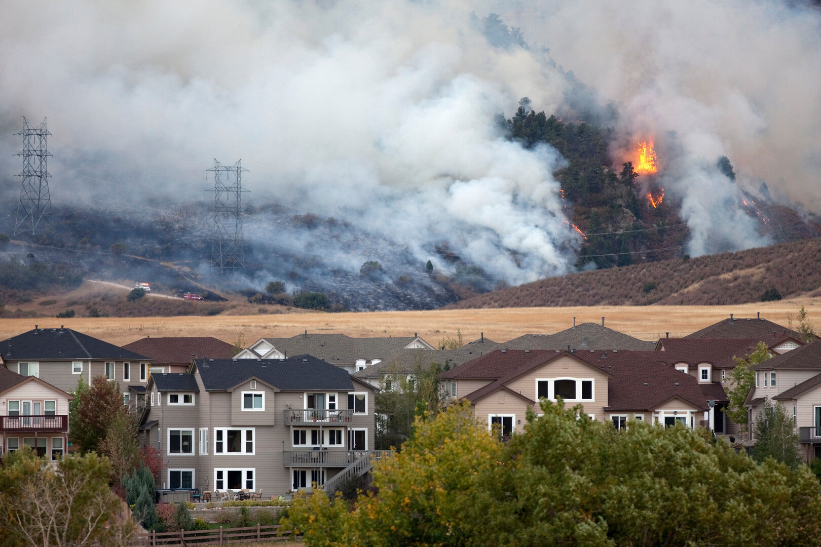
As it stands, Building America currently has resistance guides for six disasters and extreme weather events: high winds/tornadoes, flooding/coastal flooding, earthquakes, wildfires, winter weather, and extreme heat.
Once a disaster is selected, the user is given a list of specific design elements, building features (e.g. doors and windows, roofs, attics, walls, etc.), and equipment that may be improved upon to bolster resistance to the disaster in question. Each entry on the list redirects to a complete guide on the subject that provides insight into how that disaster-resistant design element may be achieved, both for new builds and retrofits.
Most of the solutions offered by Building America are tailored more-so towards homes, but many of the strategies may be employed—either wholly or partially—in the design of non-residential structures as well.